Buffalo and Western New York in Maps: Buffalo
Selected List of Buffalo Maps Online
- Plan of New Amsterdam on Lake Erie, 1800 (New York Heritage Digital Collections, SUNY Fredonia)
- Plan of the Village of New Amsterdam, 1800 (New York Heritage Digital Collections, SUNY Fredonia)
- Map of the Holland Company’s purchase 7th, 8th, 9th Ranges, Township 9 (Buffalo Creek Reservation) Erie County, ca. 1800 (New York State Archives)
- Original Land Subdivisions in Buffalo, 1802 (Buffalo Architecture and History)
- Plan of the Village of New Amsterdam; ca.1804 (New York Heritage Digital Collections, SUNY Fredonia)
- Ellicott's Plan for Buffalo, 1804 (University at Buffalo Digital Collections)
- Burned Buffalo Map, 1813 (Buffalo Architecture and History)
- Plat of Buffalo Village as it is at this date April 1813 (New York Heritage Digital Collections, Buffalo History Museum)
- Black Rock, in July 1813 (New York Heritage Digital Collections, Buffalo History Museum)
- Map of village of Black Rock. Surveyed November, 1816 (New York State Archives)
- Map of the village of Buffalo, August 1822 (Clements Library, University of Michigan)
- Map of all the houses & lots in Buffalo, taken in 1829. (Clements Library, University of Michigan)
- Map of the city of Buffalo, by W.B. Gilbert, city surveyor. 1835 (Yale's Beinecke Library)
- Map of the City of Buffalo 1836 (New York Public Library)
- Steele's new map of the city of Buffalo ... shewing the extent & boundaries of the several blocks also exhibiting the proposed harbor and canal improvements by H. Lovejoy & P. Emslie, surveyors., 1848 (Yale's Beinecke Library)
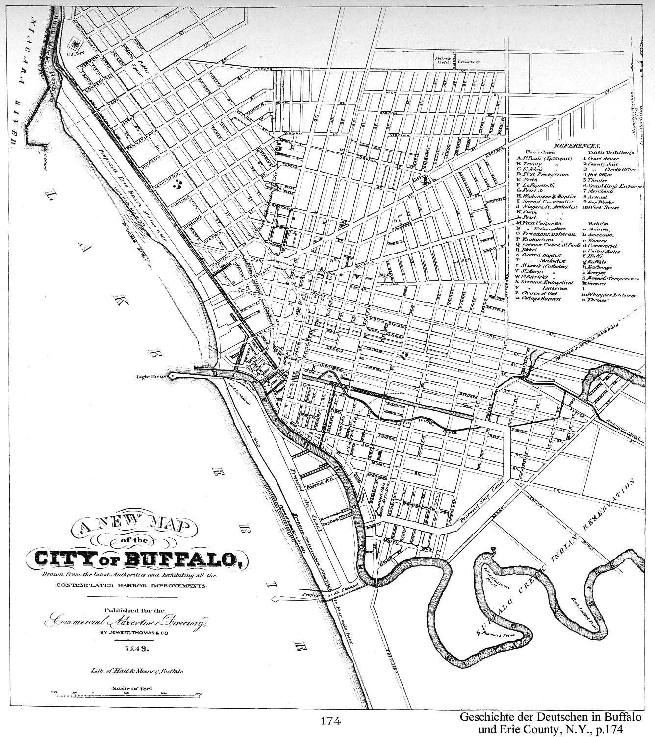
- Buffalo in 1849 (UB Libraries)
- Map of New England, New York and Buffalo, 1849 (Yale's Beinecke Library)
- Buffalo NY, 1851 (Library of Congress)
- Map of the Buffalo Harbor New York, 1854 (National Archives)
- Map of The City of Buffalo, 1855 (David Rumsey Map Collection)
- William's New Map of the City of Buffalo 1855 (University of Wisconsin Milwaukee)
- Map of Niagara River at the City of Buffalo Shewing Proposed Bridge Crossings & Ship Canal circa. 1858 (Brock University)
- Principal cities U.S., 1864 (David Rumsey Map Collection)
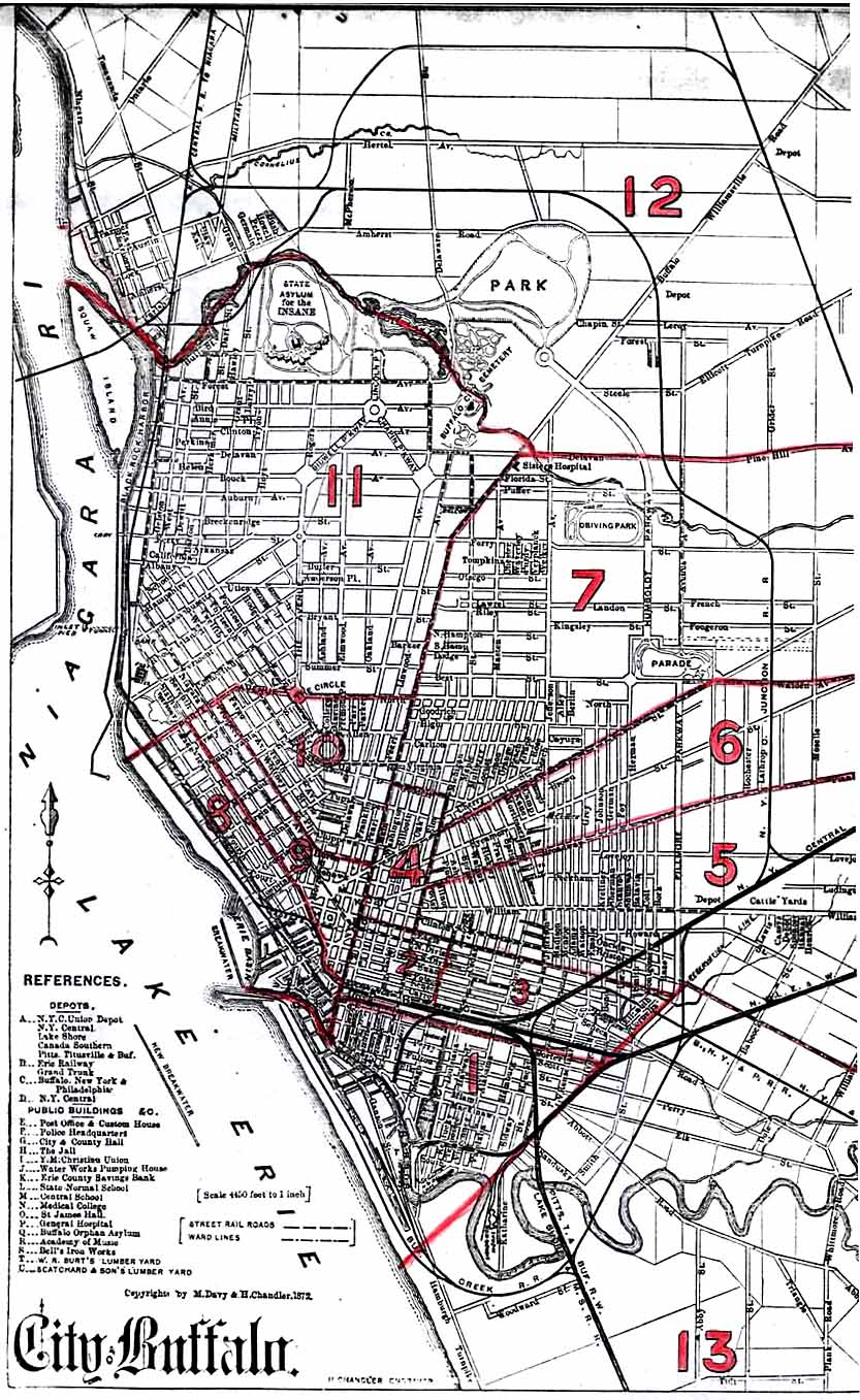
- 1872 City of Buffalo Atlas (New York Public Library)
- The city of Buffalo, N.Y., 1880 (Library of Congress)
- Map of the State of New York Showing its Canals, 1883 (David Rumsey Map Collection)
- The Buffalo trunk sewer in course of construction 1884 (Internet Archive)
- Buffalo and Baltimore, 1889 (David Rumsey Map Collection)
- Buffalo Wards map. Showing the period from 1855-1890.
- Map of Buffalo, New York. 88, 1891 (David Rumsey Map Collection)
- Buffalo, New York, 1892 (David Rumsey Map Collection)
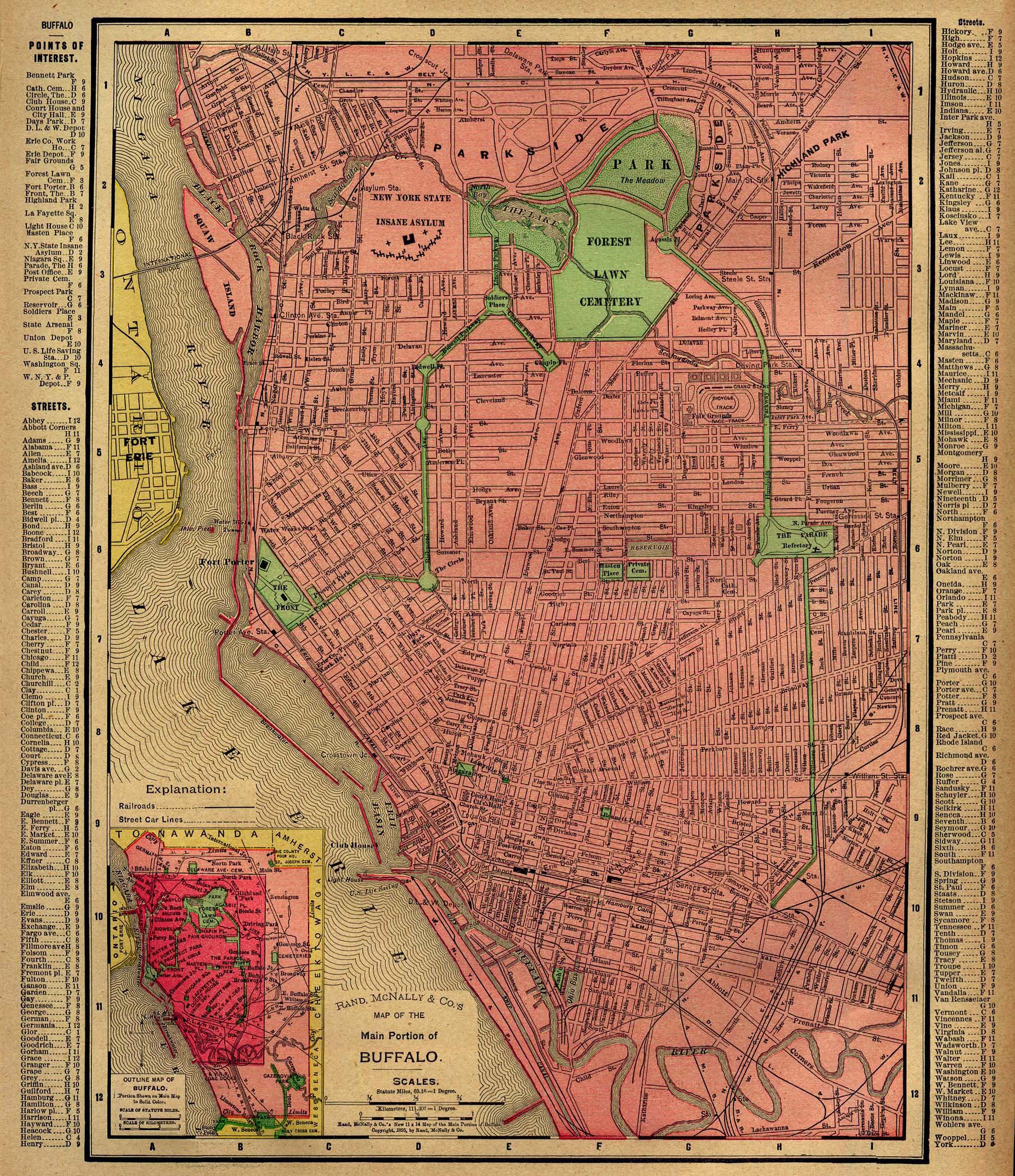
- 1894 City of Buffalo Atlas. Property maps of the city. Full-color digital version of the original maps with good resolution (may not work with all browsers).
- City of Buffalo, c. 1895 (Yale's Beinecke Library)
- Buffalo, 1895 (David Rumsey Map Collection)
- Buffalo, NY, 1896 (UB Libraries)
- Buffalo, 1897 (David Rumsey Map Collection)
- Map of Buffalo, 1901 (David Rumsey Map Collection)
- Buffalo and Vicinity, 1901 (David Rumsey Map Collection)
- Map of Buffalo, c.1902 (Library of Congress)
- Buffalo, 1903 (David Rumsey Map Collection)
- The Buffalo Depew and West Seneca Power District, 1906 (Yale's Beinecke Library)
- Geologic Map of the Buffalo Quadrangle 1906 (New York State Library)
- Buffalo, 1912 (David Rumsey Map Collection)
- The Matthews-Northrup new map of the city of Buffalo, 1916 (Library of Congress)
- Buffalo, 1924 (David Rumsey Map Collection)
- Railroad Map of Buffalo N.Y. and Vicinity 1930? (Rails and Trails)
- Buffalo, 1932 (David Rumsey Map Collection)
- Pub Note: Maps are color keyed to show value of single family homes and corresponding rental rates, as well as the location of "Foreign or Colored" residents. Ostensibly for marketing purposes at the time, today the maps show vividly the segregation of 35 American cities by income levels in 1932.
- Map of Buffalo, 1940 (Buffalo Architecture and History)
- Business Section, City of Buffalo (New York), 1947 (David Rumsey Map Collection)
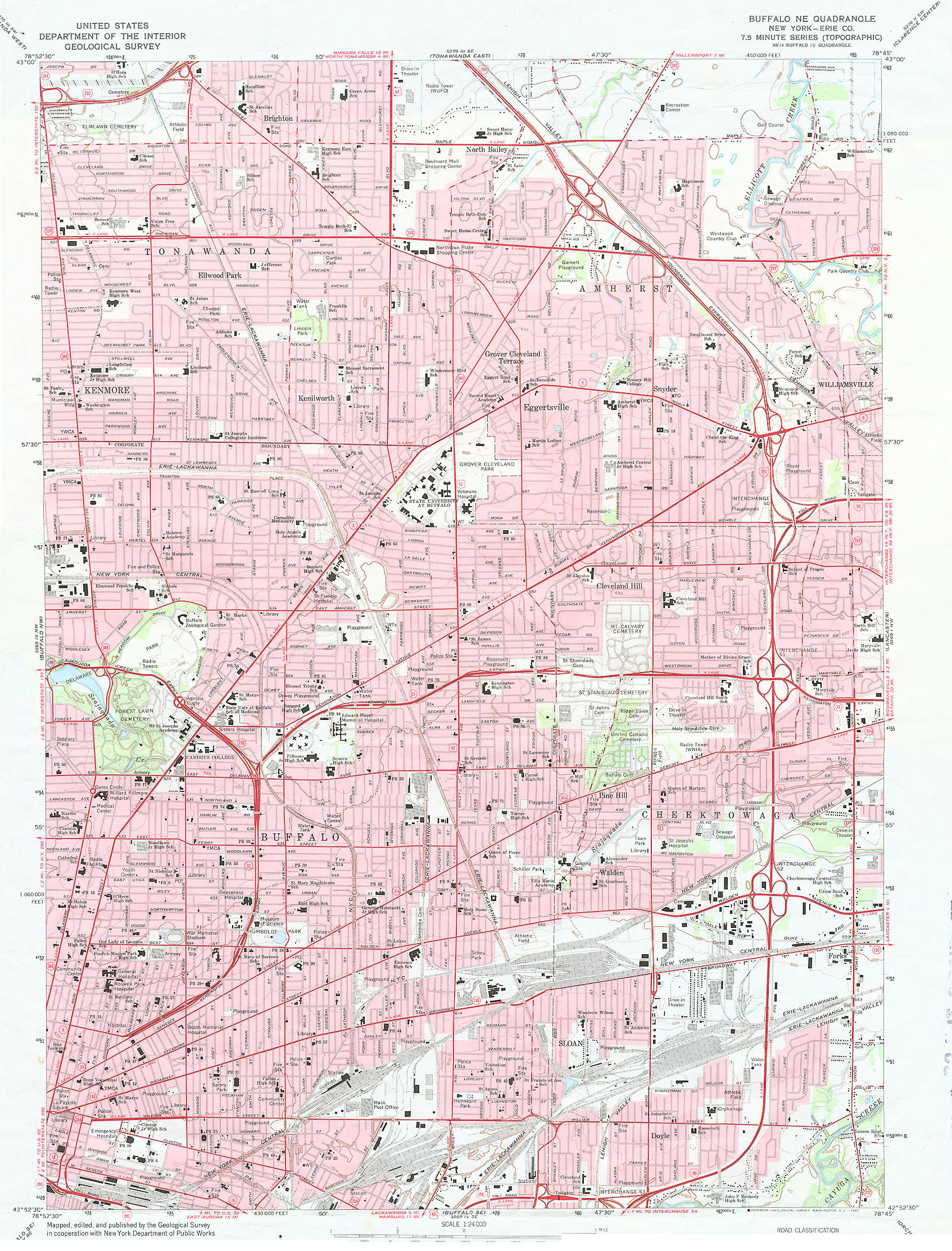
- Buffalo, New York, 1965 Low-res topographic map showing most of the city.
- Buffalo Historic Districts map. Includes maps of designated Buffalo Historic Preservation Districts: 500 Block of Main Street, Allentown, Cobblestone, Delaware, Hamlin Park, Joseph Ellicott, Theatre and West Village
- City of Buffalo Neighborhoods. This dashboard includes a map of the City of Buffalo broken down by neighbors. The dashboard also provides a profile of each neighborhood covering a variety of characteristics.
- Zoning Map of Buffalo. 1987 map shows basic data on zoning for various uses.
Buffalo City Government Maps
- Buffalo Street Resurfacing Maps. Collection of street resurfacing maps from City government. The most recent is 2017.
- Buffalo Base Map. Detailed street map (updated 2010); from Erie County Map Gallery.
- City of Buffalo Property Viewer. City of Buffalo government GIS system allows users to view zoning, signal, hospital, Census and neighborhood information overlaid on Buffalo basemap.
Buffalo Parks
Job plans courtesy of Olmstead Archives, Frederick Law Olmsted NHS, NPS:
- The Park Approaches (Delaware Park) circa 1870
- The Front 1870-1899
- New York State Asylum plans 1872
- Revised Plan for the North Street Circle 1874
- Parkside circa 1875
- Buffalo Parade Refectory; Proposed Plan of Street Car Terminuses 1876
- Prospect Place 1876
- Buffalo Park/Delaware Park 1878-1879
- Terrace Park 1883-1887
- Bennet Park 1887
- Day's Park 1887
- Masten Place 1887
- South Park 1887-1895
- Addition to the Front 1891
- Cazenovia Park 1892-1896
- Jones Tract Land 1894-1899
- Humboldt Park/The Parade 1895-1907
- Delaware Park 1897-1902
Other notable maps showing Buffalo parks:
- Buffalo Psychiatric Center, plan of grounds circa. 1870 (Buffalo State Digital Commons)
- Frederick Law Olmsted's Park System for Buffalo 1876 (University at Buffalo Digital Collections)
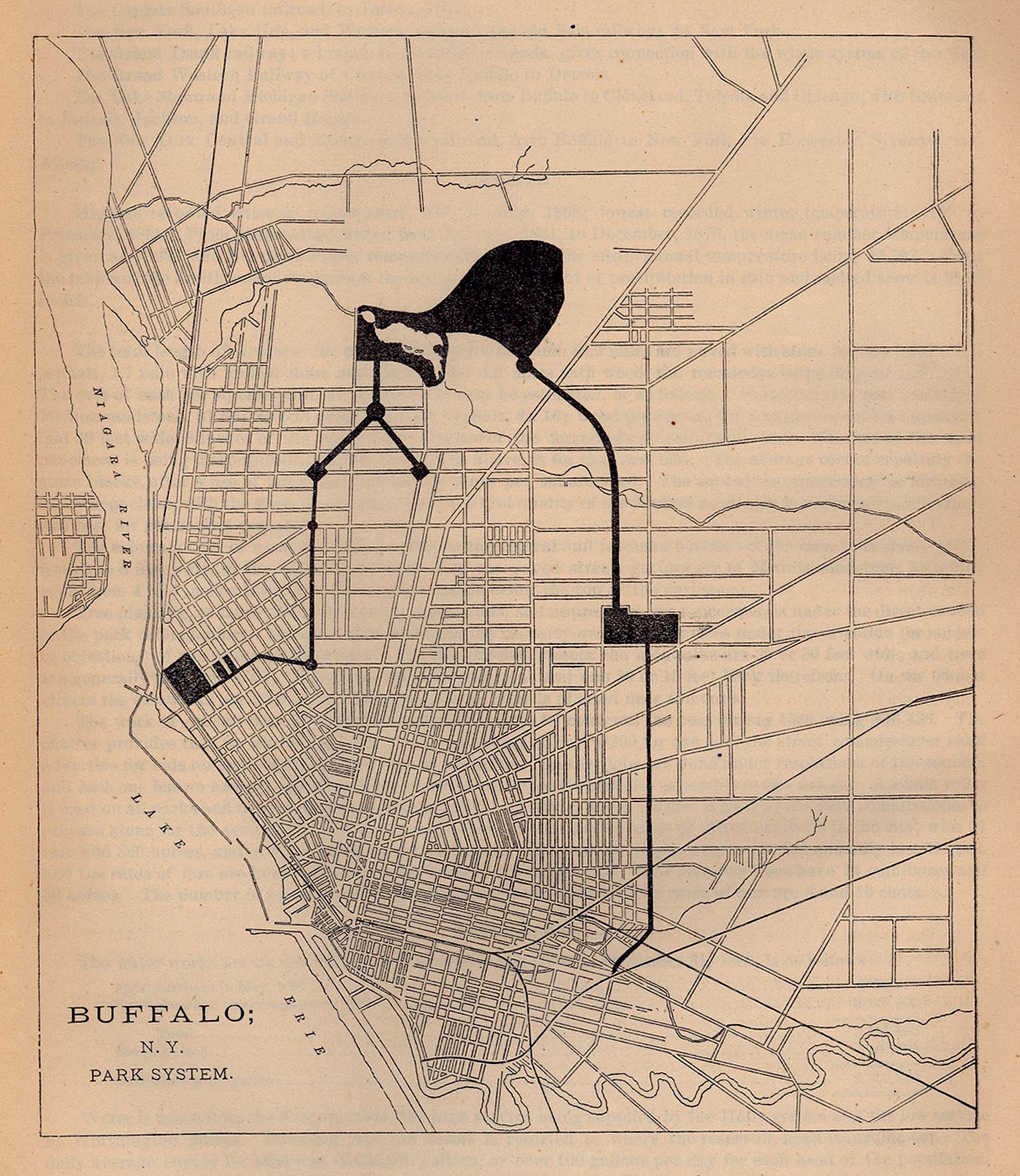
- Buffalo, N.Y. Park System, 1880 (Perry-Castañeda Library Map Collection) From Report on the Social Statistics of Cities, Compiled by George E. Waring, Jr., United States. Census Office, Part I, 1886.
- Buffalo Parks System. View a map from 1914 showing the parks and parkways as designed by Frederick Law Olmsted (though there are several parts that did not follow his plans).
Pan American Exposition 1901 Maps
Pan-American Exposition ("Doing the Pan", Panam1901.org)
Latest Revised Map, engraved for the Pan-American Up to Date Time Saver, January 1901 (University of Maryland Digital Collections)
Plan of Fair Ground January 1901 (University of Maryland Digital Collections)
Pan-American Exposition of 1901 (16 maps) (University at Buffalo Digital Collections)
Pan-American Exposition Daily Program July 17, 1901 (New York Heritage Digital Collections, Charles Rand Penney Trail)
Pan American Exposition Overlay Maps 1901-2007 (George Thomas Apfel)
Orienteering Maps
Topographic maps used for people who use compass or GPS equipment to practice ground navigation. The following examples were produced for the Buffalo Orienteering Club:

Juba Storrs. Plat of Buffalo Village as it is at this date April 1813 (1813). Image Source: Buffalo History Museum on New York Heritage Digital Collections.

Edward Howard Hutchinson. The City of Buffalo, N.Y. (1880). Image Source: Library of Congress.

Henry Gannett and H.M. Wilson. Buffalo, NY (1894). Image Source: USGS Topoview.

Peltz, C.E. Plan of the Pan-American Exposition (1901). Image Source: University at Buffalo Digital Collections.

Rand McNally and Company. Buffalo (1903). Image Source: David Rumsey Map Collection.
Census Maps
There are many print and digital sources for Census maps and data available. In addition to the below notable resources, be sure to visit the UB Libraries' Census Resources guide.
- U.S. Census Block Tracts within the City of Buffalo (2020).
- 2010 Erie County Census Tract Map
- U.S. Census Interactive Maps. Interactive maps of Census data for entire nation.
- 2000 Block Maps. Block maps for entire nation.
- 2000 Tract Maps. Tract maps for entire nation.
- Erie and Niagara Counties, New York : An Index to Census 2000 Block Maps compiled by Giann A. Palachuvattil, student, School of Library and Information Studies, University at Buffalo. Lockwood Reference G3803.E6E25 2000 .P34
- Historical Buffalo Census maps
- 1940 Census Enumeration District Maps (National Archives)
- 1950 Census Enumeration District Maps (National Archives)
Additional Resources for Buffalo Maps
Additional Resources for Buffalo Maps
- Buffalo Architecture and History: Buffalo, NY Maps
- Bibliography of links to digitized regional maps. Many links in the selected list above found on this research website.
- Buffalo, New York History. Photographs, drawings, maps, articles; wide variety of topics.
- Buffalo Maps at BuffaloResearch.com. Links to a variety of great maps of Buffalo, along with street indexes, guides, and other items. Also has links to maps of Erie county towns and other areas.
- The Buffalo History Museum Library Collections. View maps in-person and explore their Digital Collections. Notable maps include:
- Buffalo Churches in 1901: A Google Map (If you see the message you "do not have access to Google My Maps", log out of your UB account to view this map)
- Buffalo Municipal Housing Authority Report Maps Digitized from 1935 report.
- Pan-American Exposition: Then & Now. A map of the grounds of the 1901 Pan-American Exposition with today's streets superimposed on it.
- Prohibition Raids in Erie County, New York, 1920-1923: A Google Map (If you see the message you "do not have access to Google My Maps", log out of your UB account to view this map)
Many of the individual maps listed chronologically have been digitized by other libraries and institutions. Please visit the following websites to view their extensive collections:
- Yale University's Beinecke Rare Book & Manuscript Library
- David Rumsey Map Collection
- Library of Congress
- New York Public Library
- Osher Map Library
- University of Texas Libraries GeoData Portal
- University of Texas at Austin, Perry-Castañeda Library Map Collection
- The Perry-Castaneda Collection website was archived in 2021.
- University of Texas at Austin, Perry-Castañeda Library Map Collection