Aerial Photographs of Buffalo and WNY: Soil Conservation Service (1978)
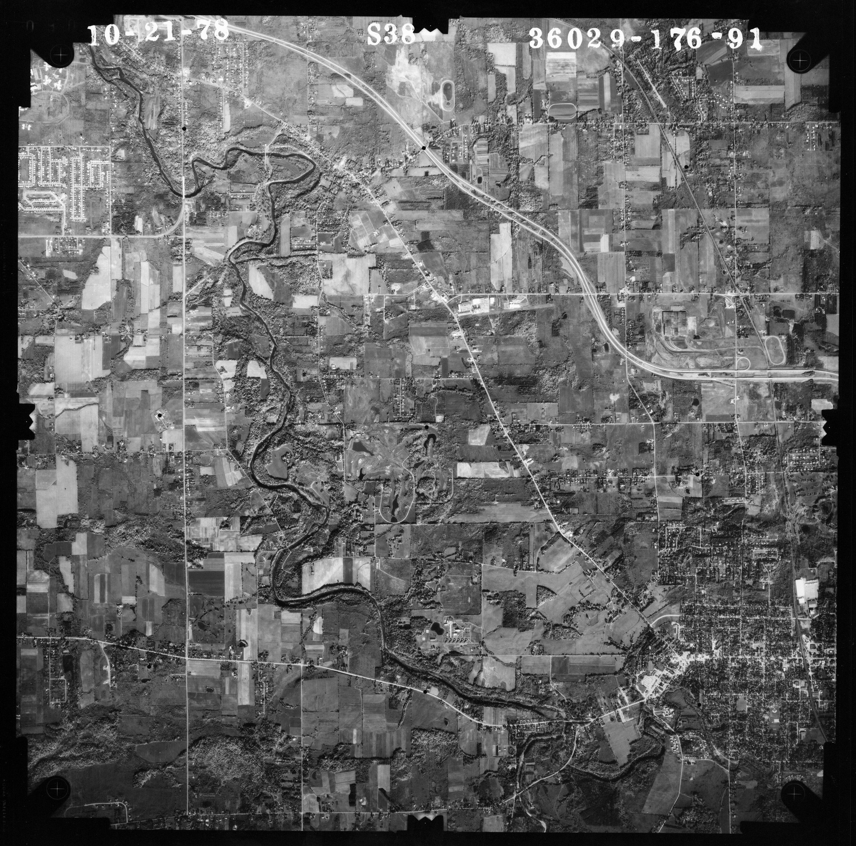
Series 36029-176 Notes
U.S. Department of Agriculture, Soil Conservation Service
- Flown by Kucera & Associates, Mentor, Ohio
- Date: 1978
- Coverage: Erie and Niagara Counties, N.Y.
- Scale 1:38,000
- Plate numbers read: Series 36029-176--[nnn]-1978-[mo.-day]
Images 1-99
- 23 Niagara Falls to Grand Island north (see also 161 below)
- 39 Southern Erie County
- 41, 42, 43 Erie County: Wales (N); Holland (S). See compilation map.
- 62, 63, 64, 65, 66 Erie County: Aurora & East Aurora, Holland, Wales. See compilation map.
- 71 West Seneca/Buffalo (SW), I-90-Route 400 interchange.
- 84 Williamsville/Clarence (North of Thruway (I-90), Transit Road (West) to Lancaster. Includes quarries and Lancaster Speedway). Detail (300%) of Thruway corridor and quarries; from Transit Road to East of Lancaster Speedway. Detail (200%) of Transit Road corridor from Thruway North to Maple Road (current Eastern Hills shopping mall/plaza strip).
- 85 Williamsville/Clarence (Image almost the same as 84 above, but includes South of Thruway (I-90) South to Genesee Street; Transit Road (West) to Lancaster. Includes quarries and Lancaster Speedway).
- 86, 87 Williamsvill/Clarence Transit Rd., Sheridan Dr., E toward Lancaster. (87 section at 400%)
- 90, 91 Lancaster (N), Elma (Center), Aurora & East Aurora (S); Route 400. See compilation map.
- 92, 93 Aurora & East Aurora (E); Orchard Park (W); West Falls (S); Colden (91 image).
Images 100-199
- 101 Ashford Hollow (near West Valley Nuclear Demonstration Project).
- 103 Western New York Nuclear Service Center (West Valley Nuclear Demonstration Project), Ashford, NY (Cattaraugus County). Includes Ashford and part of Cattaraugus Creek. (Detail image of Center; 200% detail). See also 1966 #114 for more images, map, and detail shots.
- 121 West Seneca; I-90/I190 junction (W), route 400 (S), Transit (E) Clinton St. (N).
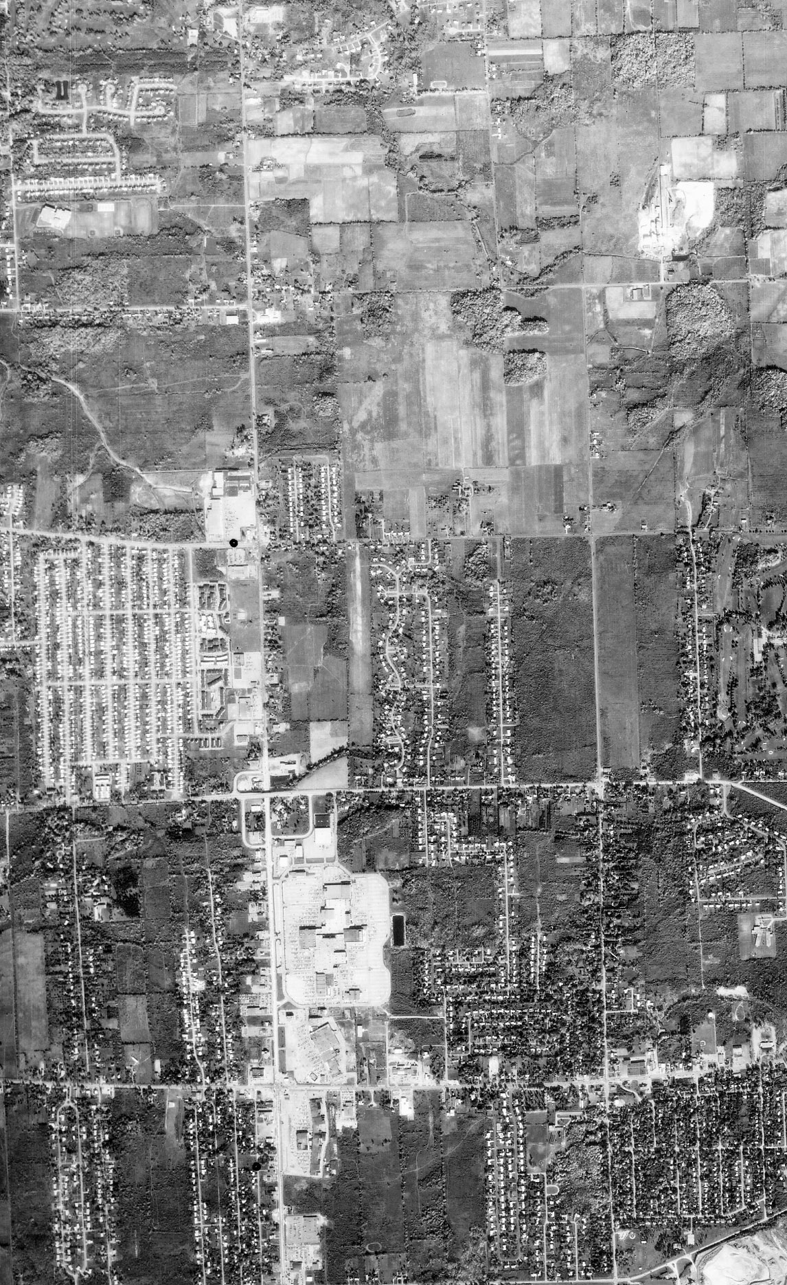
- 123 Cheektowaga/Williamsville/Depew/Buffalo (East). Airport N, Transit Rd. E, Lancaster S, I-90 W. 124, 125, 126 Additional to above cover Williamsville and Clarence (Transit Rd., Main St., Sheridan Dr., to Harris Hill)
- 128 Amherst-Pendleton area along Tonawanda Creek (Transit Road & Millersport--New Road--Tonawanda Creek Road) See also 210-212 & 215 adjoining images
- 139 Cattaraugus Creek (County Line) W Lake shore-several miles inland.
- 159, 160 Niagara Falls (N.Y.) along river (E to bridges and LaSalle Expwy), Grand Island W & NW, Navy Island, SE Niagara Falls, Ont. (Township), showing Chippewa; S border (159) on Fort Erie).
- 161 Niagara Falls (N.Y.) to Grand Island north (Niagara Falls detail; Navy Island, Grand Island detail)
- 164 Niagara Falls, Grand Island north, NF airport, W Wheatfield
- 165 Niagara Falls/Wheatfield (N), Grand Island (excluding S end), East Branch Niagara River (E)
- 166 Tonawanda west (Sheridan Drive & Military); Grand Island (south-central)
- 167 Tonawanda west (Sheridan Drive & Military); Grand Island (south); Includes Beaver Island State Park; excerpt of Park.
- 168 Tonawanda west (Sheridan Drive & Military) section (at 300%) excerpt showing Black Rock/Niagara River section.
- 170 South Buffalo/Lackawanna
- 175 Derby, SE Hamburg, Eighteen Mile Creek from W of Eden to Lake Erie; 300% excerpt near Creek mouth.
- 198 (W) Lake Erie; (N) Ridge Rd (Smoke Creek); (E) S. Park Ave; (S) Wanakah Ctry Club, Camp Rd, Pleasant. Also Hamburg Town Park.
Images 200-299
- 200 Buffalo River, South Buffalo Area. (W) Lake Erie; (N) Small Boat Harbor, William St; (E) South Park Ave; (S) Ridge Rd (Smoke Creek).
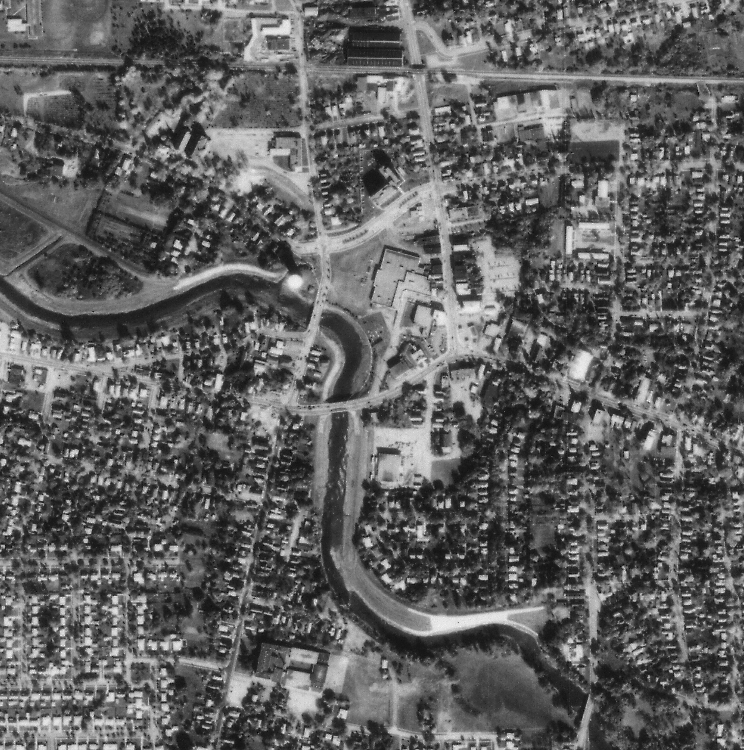
- 202 Buffalo downtown (600 dpi) (300 dpi) (detail 150%)--image covers most of the city
- 204 Town of Tonawanda (Grand Island Bridges, I-290, I-190, to North Buffalo (Scajacquada Expressway), to International RR Bridge (to Canada), to Eggert Road).
- 206 Grand Island (E half); North Tonawanda; Tonawanda (City & Town); I-290 (S edge)
- 210, 211 Amherst-Pendleton area along Tonawanda Creek (Transit Road & Millersport--New Road--Tonawanda Creek Road) See also 128 adjoining image.
- 212 Amherst/Williamsville (E of UB)
- 215 Amherst-Pendleton area (N of UB North Campus)
- 216 UB North Campus and Getzville/North Forest; Tonawanda. hi-res excerpt of Campus.
- 217 UB North Campus; Amherst (Boulevard Mall/Niagara Falls Blvd); Tonawanda; UB South Campus; Buffalo; Williamsville
- 219 UB South Campus and Eggertsville (N Amherst -- S Broadway/W Delaware Park -- E Cheektowaga). (Excerpt 300% showing UB/Englewood Ave.)
- 222, 223, 224 South Buffalo, West Seneca, Hamburg; N Cazenovia Park/Creek, E West Seneca (Route 400), S Milestrip Road (Orchard Park), W Lake Erie (Lackawanna) (Cazenovia Park 400%).
- 200 Buffalo River, South Buffalo Area. (W) Lake Erie; (N) Small Boat Harbor, William St; (E) South Park Ave; (S) Ridge Rd (Smoke Creek).
- 202 Buffalo downtown (600 dpi) (300 dpi) (detail 150%)--image covers most of the city
- 204 Town of Tonawanda (Grand Island Bridges, I-290, I-190, to North Buffalo (Scajacquada Expressway), to International RR Bridge (to Canada), to Eggert Road).
- 206 Grand Island (E half); North Tonawanda; Tonawanda (City & Town); I-290 (S edge)
- 210, 211 Amherst-Pendleton area along Tonawanda Creek (Transit Road & Millersport--New Road--Tonawanda Creek Road) See also 128 adjoining image.
- 212 Amherst/Williamsville (E of UB)
- 215 Amherst-Pendleton area (N of UB North Campus)
- 216 UB North Campus and Getzville/North Forest; Tonawanda. hi-res excerpt of Campus.
- 217 UB North Campus; Amherst (Boulevard Mall/Niagara Falls Blvd); Tonawanda; UB South Campus; Buffalo; Williamsville
- 219 UB South Campus and Eggertsville (N Amherst -- S Broadway/W Delaware Park -- E Cheektowaga). (Excerpt 300% showing UB/Englewood Ave.)
- 222, 223, 224 South Buffalo, West Seneca, Hamburg; N Cazenovia Park/Creek, E West Seneca (Route 400), S Milestrip Road (Orchard Park), W Lake Erie (Lackawanna) (Cazenovia Park 400%).


